Living Lab Dataset
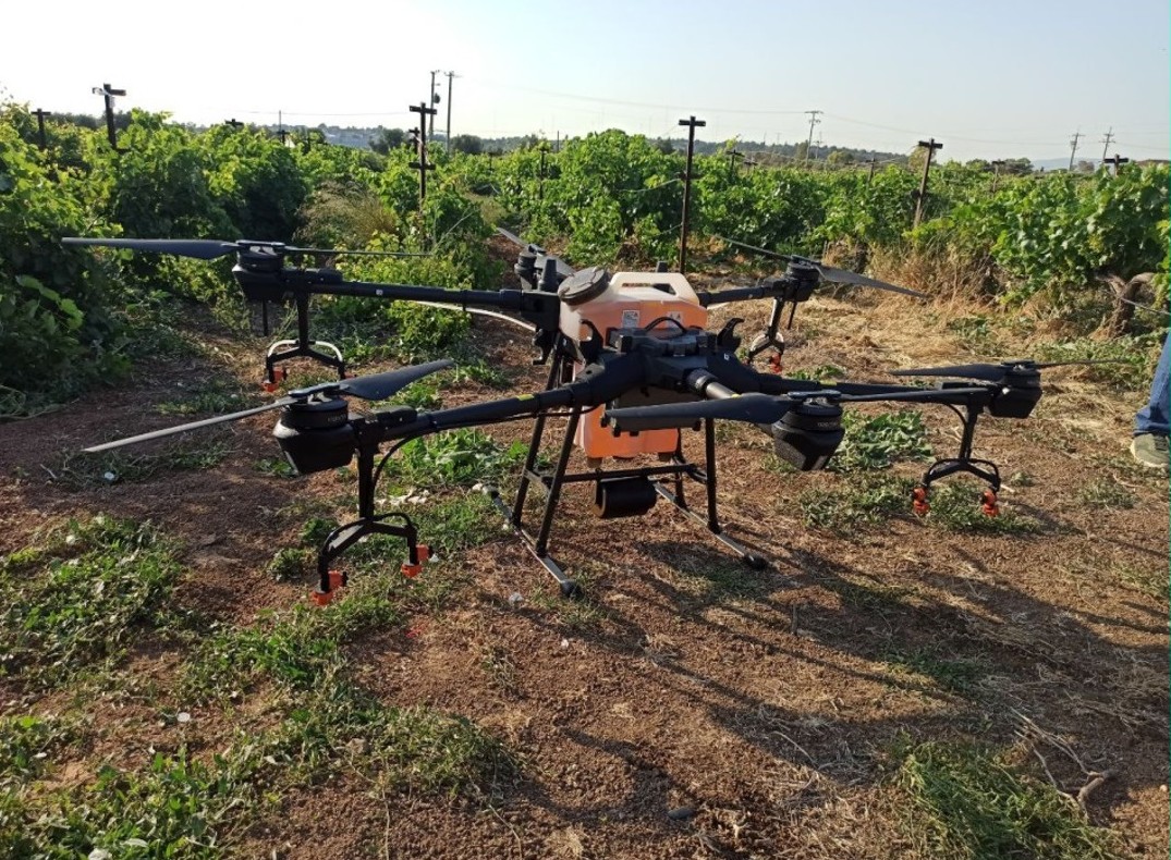
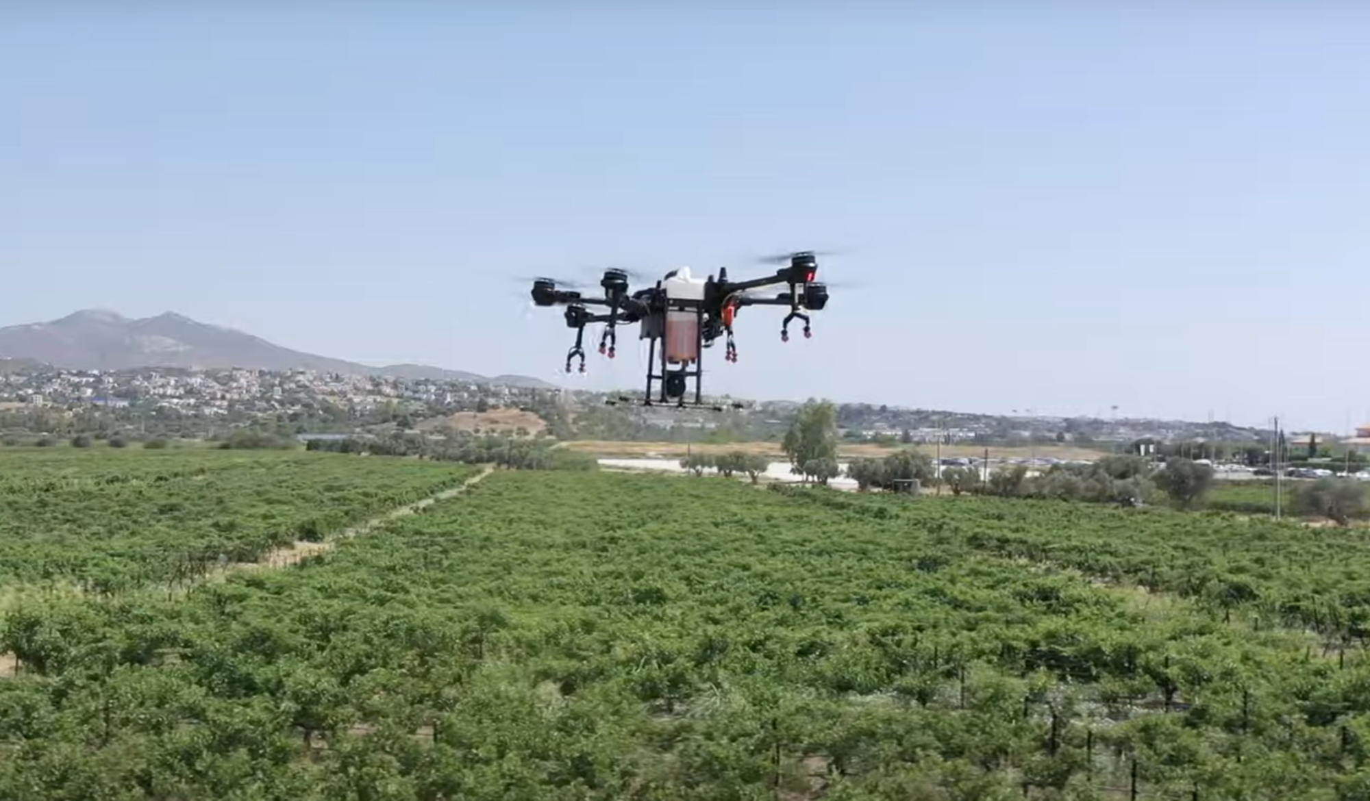
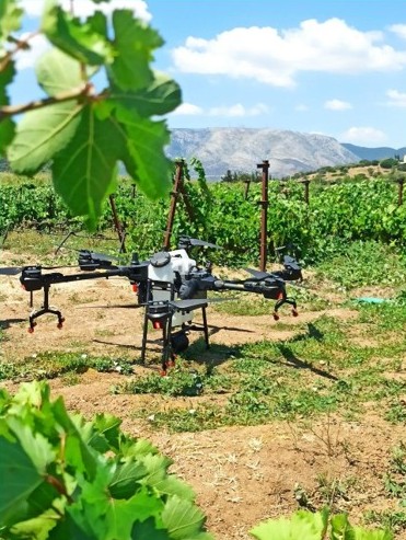
Spraying UAVs
AUA Spraying Experimentation Demo Farm
The use of unmanned aerial vehicles (UAVs) equipped with a spraying capability is being employed. These vehicles incorporate numerous digital technologies in their implementation pipeline, including, but not limited to, geospatial information systems (GIS) for flight planning, various environmental sensors connected to Internet of Things (IoT) stations for the constant monitoring of weather conditions, navigation sensors such as LiDAR sensors for altitude adjustments during spraying, and vision systems for obstacle avoidance. Subsequently, the data is analysed using image analysis techniques to obtain qualitative data on the spraying applications, or via laboratory retrieval of spraying tracers for the assessment of spraying displacement (drift).
Digital Components
- Software
- Spraying UAV
- Controller (hardware)
- Sensors
- Positioning systems
Type
- UAV
Living Lab Country
- Greece
Application Scenarios
- Pest management & spraying efficiency
Agricultural Sector
- Horticulture crops
Required Skill Level
- High
Target users
- Farmers
- Advisors
- Researchers
Country of Origin
- China